Lake Macatawa Fishing Spot
- Elevation: 599'
- Last Modified By: overstdr on 03/31/10 04:57 PM
- Ask about Lake Macatawa in our Fishing Forums
Photos

Comments
-
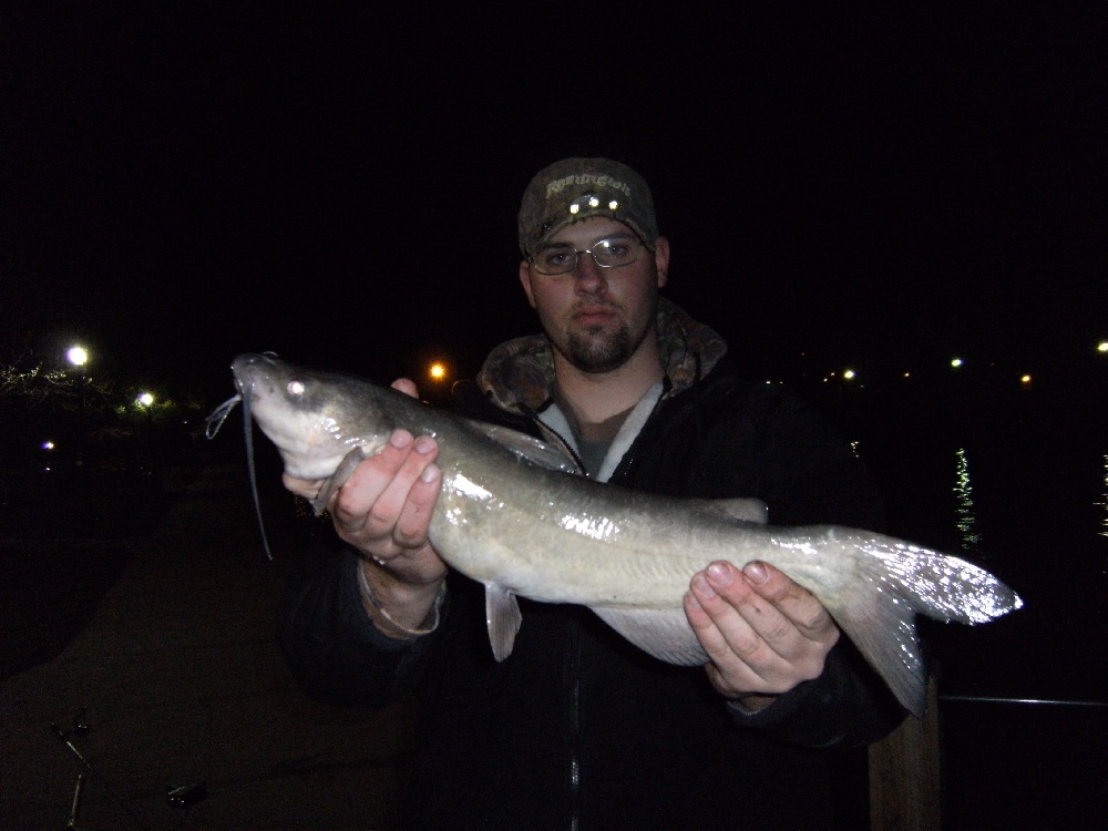
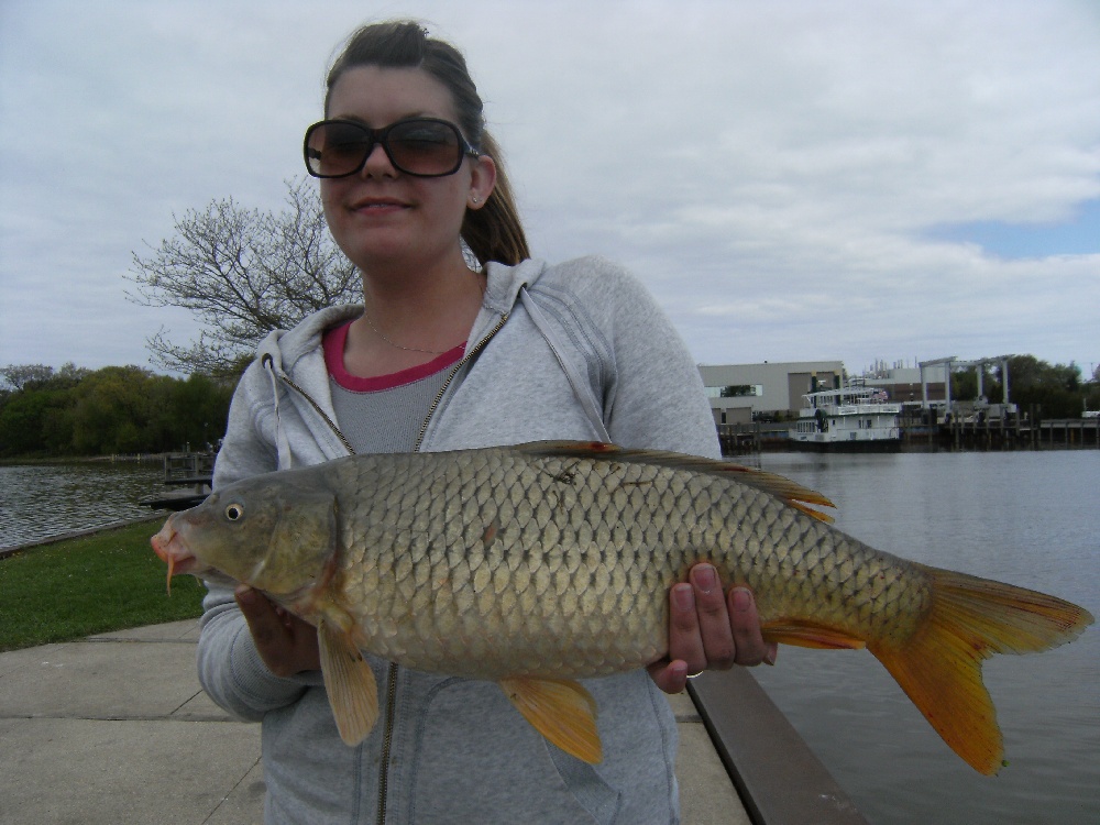
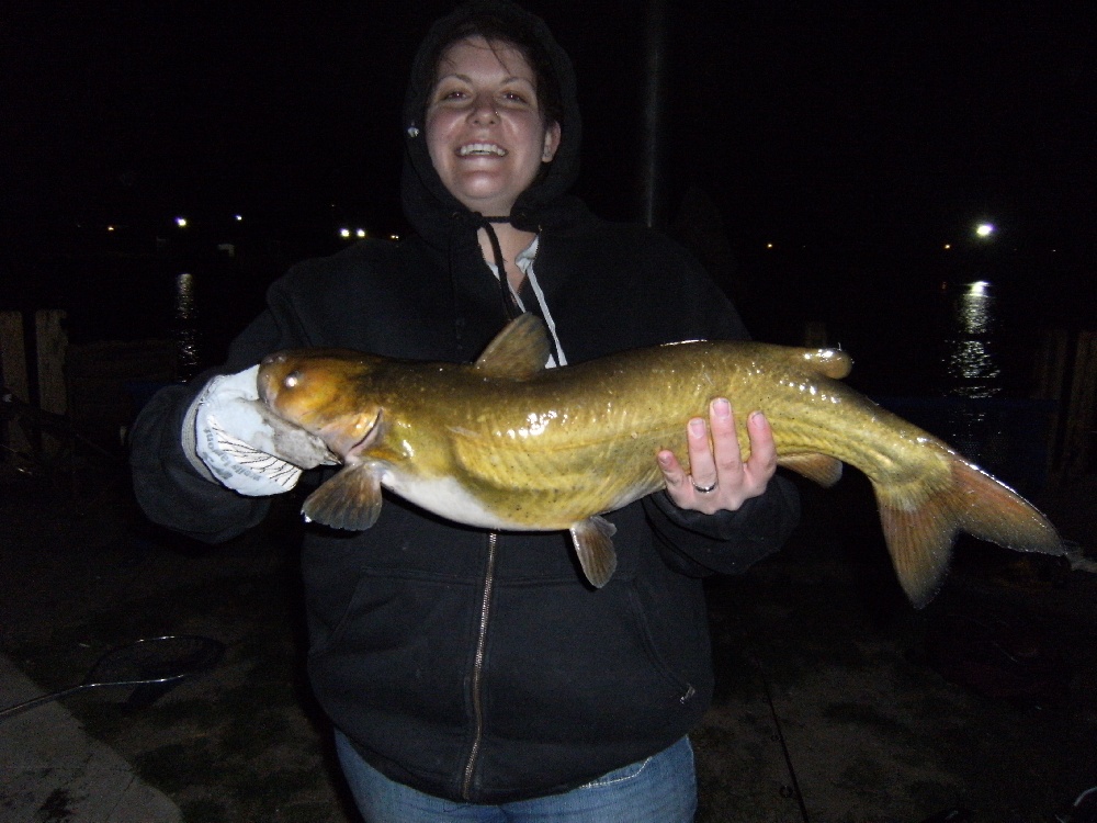
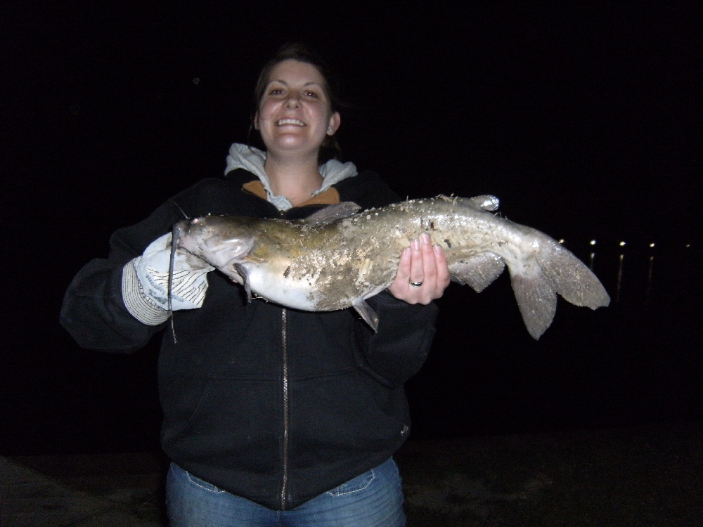
Not a bad spot for catfishing and carp, but have caught lrgmth bass, white bass, perch, sucker, bull head, sheep head and rock bass at this location
Lake Macatawa Baits and Tackle
Worm Check Prices
- used piece of plastic worm.
Nightcrawler Check Prices
- piece of night crawler.
Minnow Check Prices
Lake Macatawa Description
Lake Macatawa is a lake in Ottawa County in the U.S. state of Michigan. The lake is about 6 miles (10 km) long with a maximum width of 1.2 miles (1.9 km) and a surface area of 1,700 acres (2.83 mi², 7.317 km²) The average depth of the lake is variable but generally less than 10 feet (3 m), excluding a navigation channel of fixed depth that crosses the lake to allow deep draft ships to access the dock at the City of Holland.